Forecasters Warn of Eastward-Moving Storm System, ‘Ring of Fire’ Effect Expected
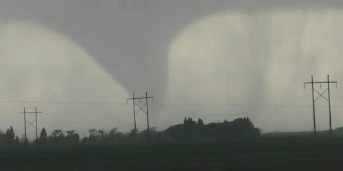
A deadly storm system is pushing eastward across the U.S., triggering warnings from meteorologists as it brings with it the potential for severe weather, including tornadoes, damaging winds, and large hail. AccuWeather reports that thunderstorms forming along the perimeter of a large dome of hot air could create a dangerous “ring of fire” pattern.
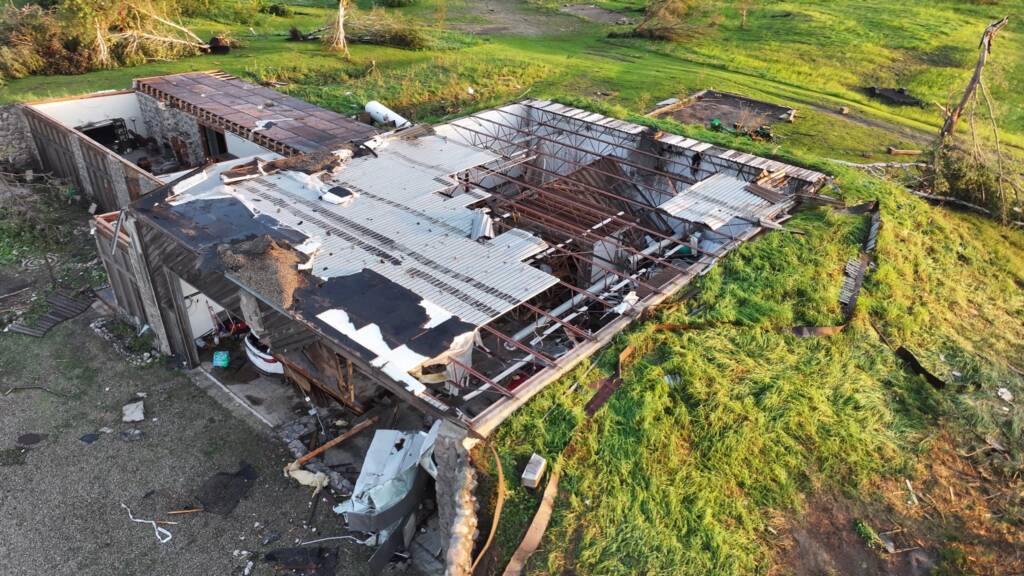
At least three people lost their lives in rural Enderlin, southeastern North Dakota, following powerful storms on June 20. According to the Cass County Sheriff’s Office, deputies responded around 11:40 p.m. to reports of tornado damage at a residence, where they found the roof torn off and residents visibly shaken. The local fire department reported two victims discovered by storm chasers in the remains of a nearby destroyed home, while a third person was found dead at another location. No additional injuries were reported.
“Their homes aren’t there anymore — they’re totally destroyed,” Sheriff Jesse Jahner told reporters.
The same system swept through parts of the Dakotas and Minnesota, delivering wind gusts exceeding 100 mph, destructive hail over 3.5 inches in diameter, and multiple tornadoes, according to preliminary data from the Storm Prediction Center. The National Weather Service in Bismarck recorded a wind gust of 101 mph at the North Dakota Agricultural Weather Network station near Linton. Trees and power lines were downed, leaving more than 75,000 people without power across North Dakota and Minnesota on the morning of June 21, according to outage tracking sources.
Storms Expected to Intensify and Shift East
The storm complex is expected to continue its eastward trajectory, moving through the Great Lakes region during the day on June 21 and reaching New York and New England by night. The National Weather Service warns of the potential for flash flooding, strong wind gusts, and hail across these regions.
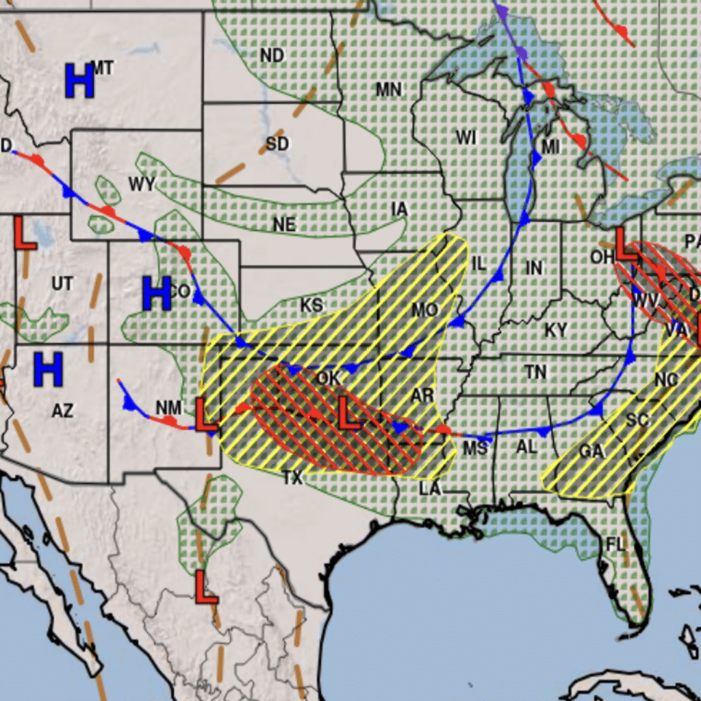
This severe weather arrives amid a prolonged and “extremely dangerous” heat wave affecting much of the U.S., driven by a high-pressure system stationed over the Southeast. That system is creating a clockwise airflow that funnels moisture from the tropical East Pacific across the Plains — a setup meteorologists call the “ring of fire,” according to Bryan Jackson of the Weather Prediction Center.
AccuWeather notes that as the system continues eastward, it could develop into a derecho — a widespread, long-lasting windstorm often referred to as an “inland hurricane” due to its destructive power and reach.
Thunderstorms forming along the edges of the high-pressure dome are expected to intensify, creating dangerous conditions that span hundreds of miles. The setup is further exacerbated by a low-pressure trough over the Great Basin and persistent high pressure near the Appalachians, which promotes a ring-shaped pattern of storm development.